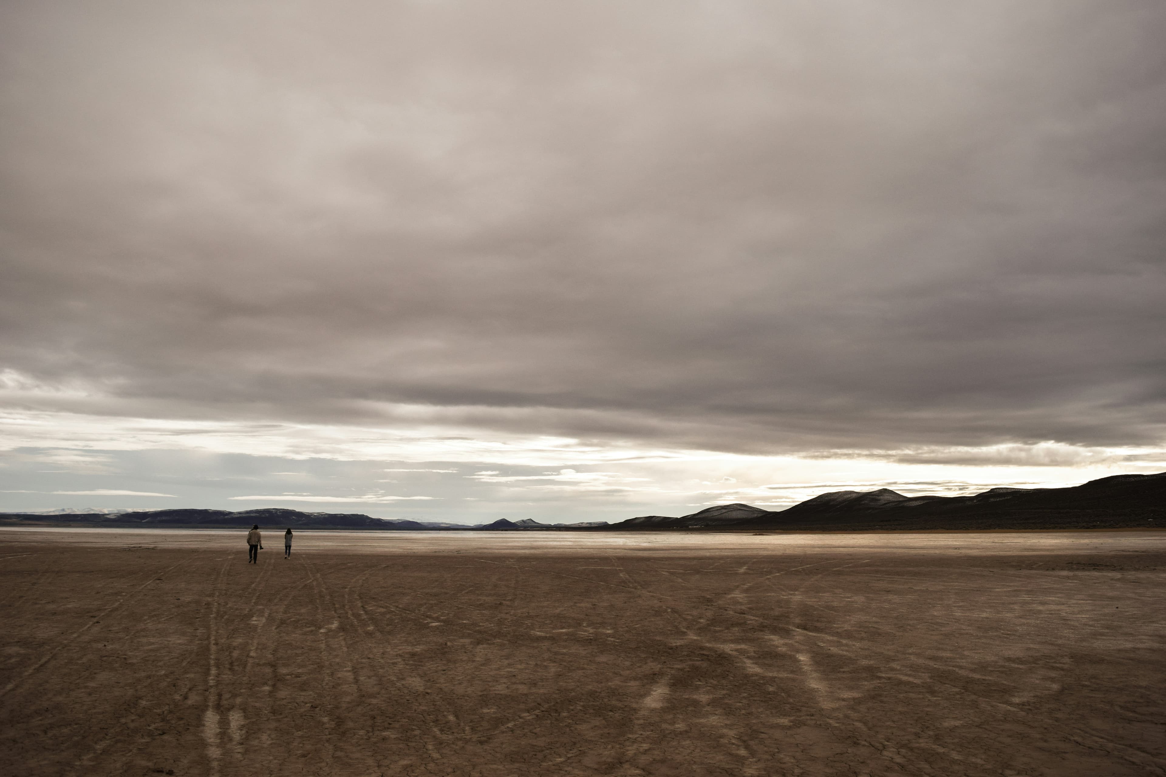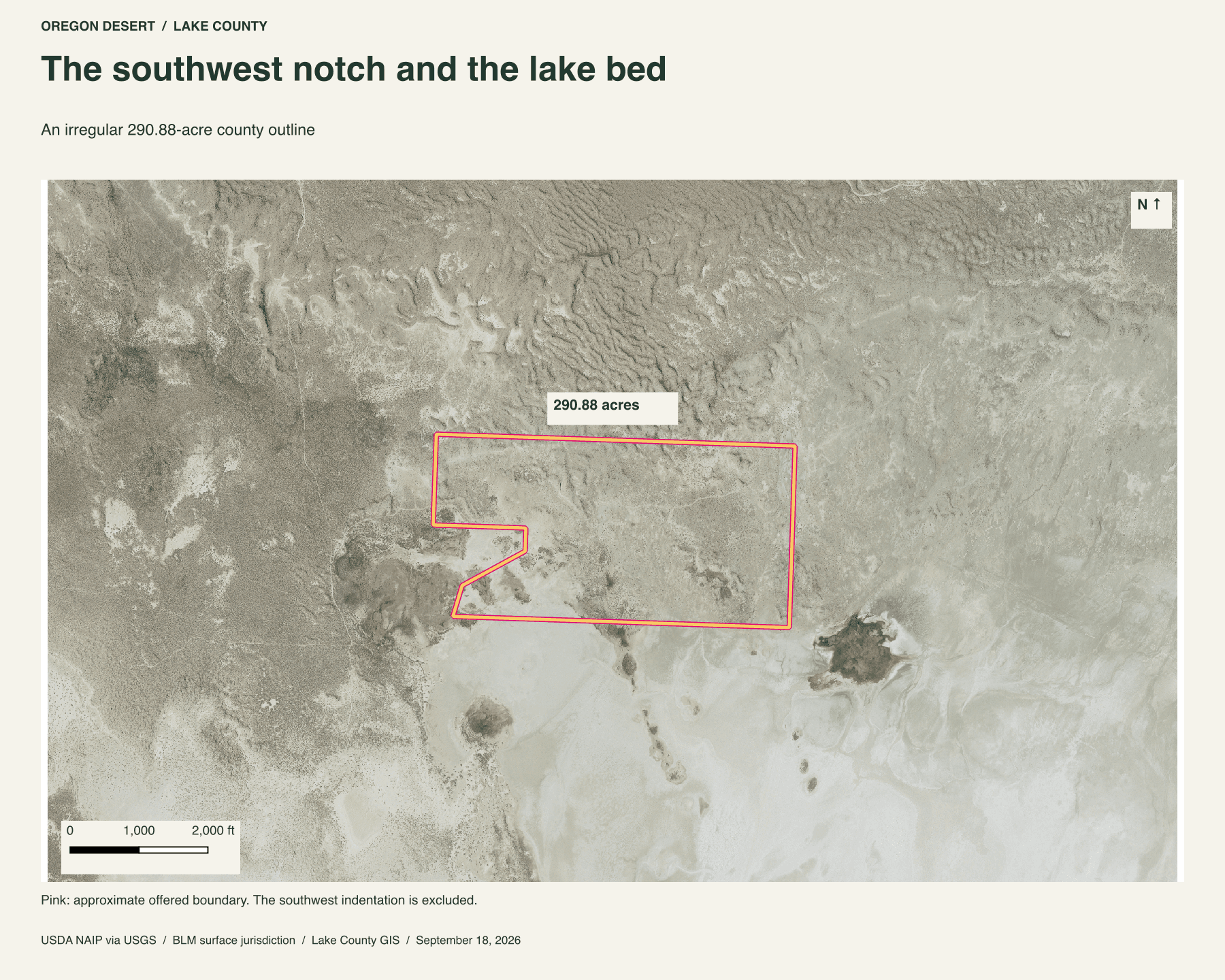
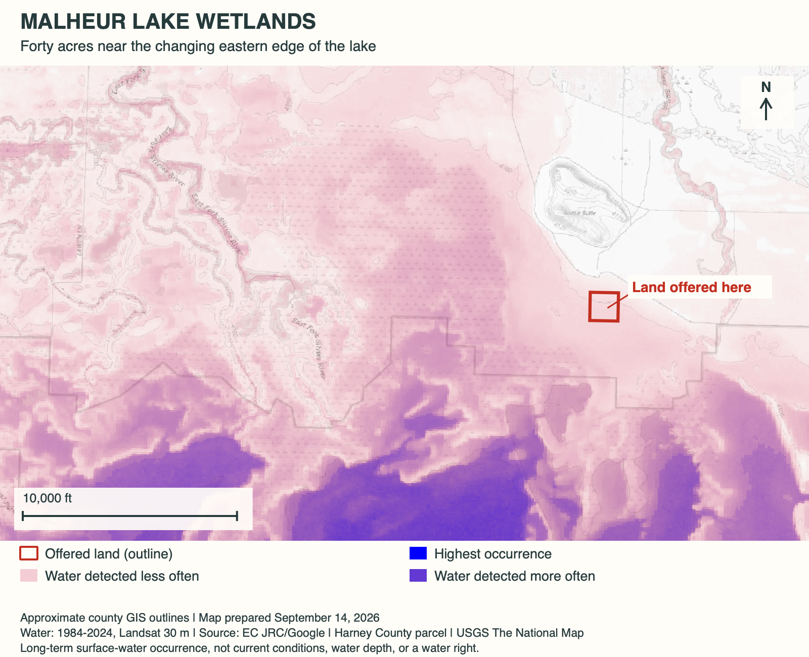
Saddle Butte gives these forty acres a fixed landmark. The waterline does not. The parcel lies near the eastern edge of Malheur Lake, where wet ground can give way to a broad, dry lake margin. Aerial views taken in different years show how far that change can go.
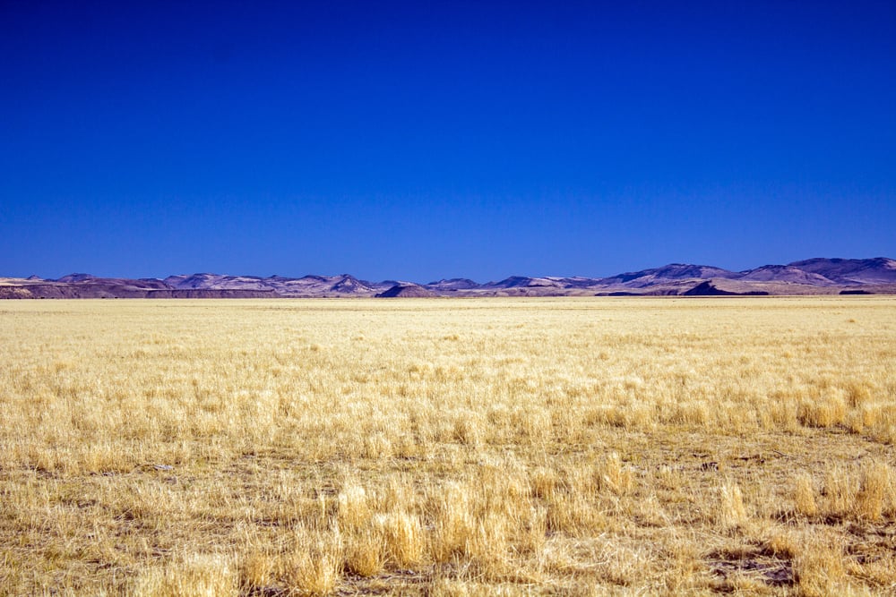
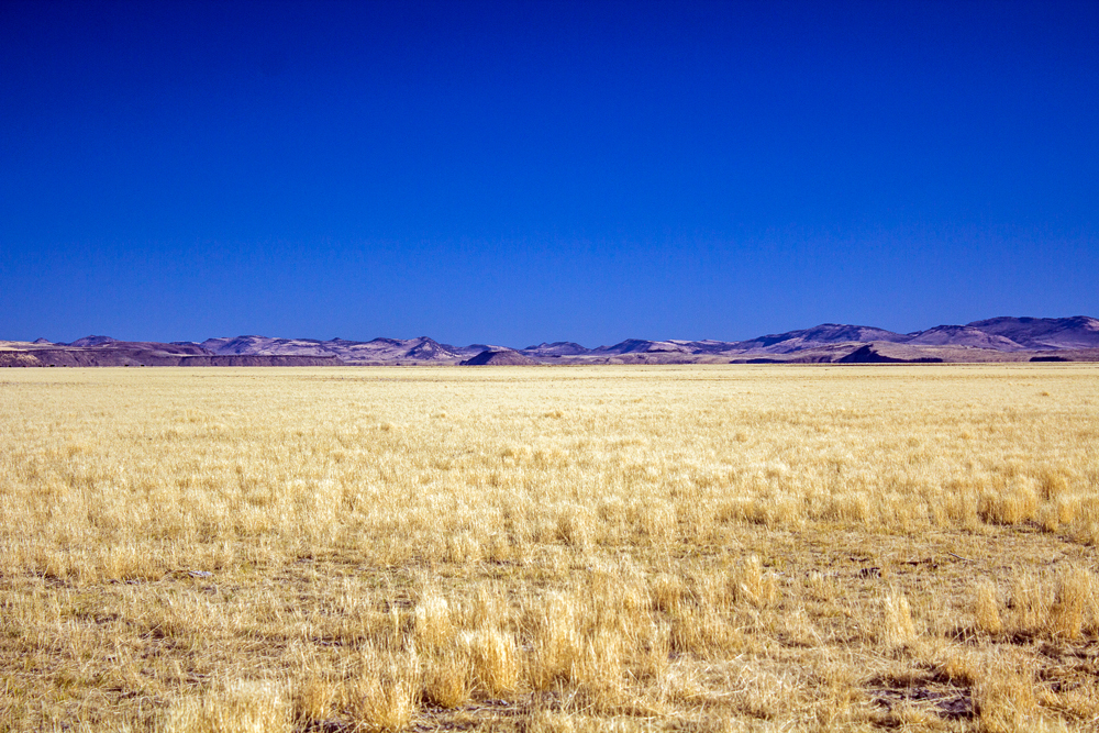
The early-fall photographs show the dry side of that cycle. Grass runs toward a low horizon, with no broad sheet of water visible in these views.

A shoreline that moves
Much of the basin's water arrives with spring snowmelt. The Silvies River carries it south, while the Donner und Blitzen brings it north from Steens Mountain. Malheur's shallow lakes can spread widely in wet periods and shrink hard during drought. The refuge's account of the Harney Basin explains that cycle.
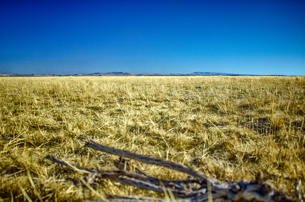
Below the wide view, the small details become easier to notice: short grasses, exposed soil, and weathered wood. A dry photograph can look far removed from the word "wetland," but the long water record above explains why one visit gives only part of the picture.
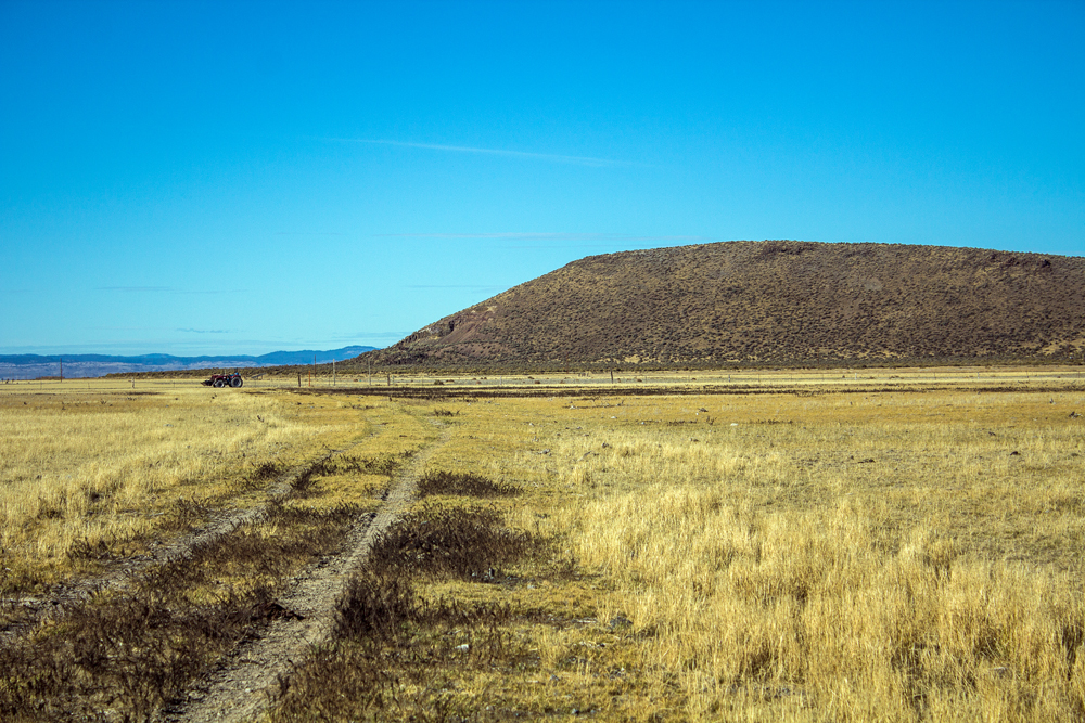
Saddle Butte above the flats
The butte provides a way to read the flat country around it. The land offered here lies below it, near the lake margin. This early-fall view shows how abruptly the nearby high ground rises above the grasses.
The assessor view places the forty acres below Saddle Butte, along the lake margin. That position makes the rise and fall of the water central to this holding.

The parcel below Saddle Butte on the 2014 assessor-map view. Boundaries are approximate.
Part of the flyway country
Those changes matter to birds moving along the Pacific Flyway. Malheur National Wildlife Refuge provides resting, breeding, and nesting habitat for hundreds of thousands of migratory birds. That is the wider setting for this small holding below Saddle Butte. The nearest refuge boundary lies about half a mile east. Bird activity and standing water on the parcel vary with conditions.
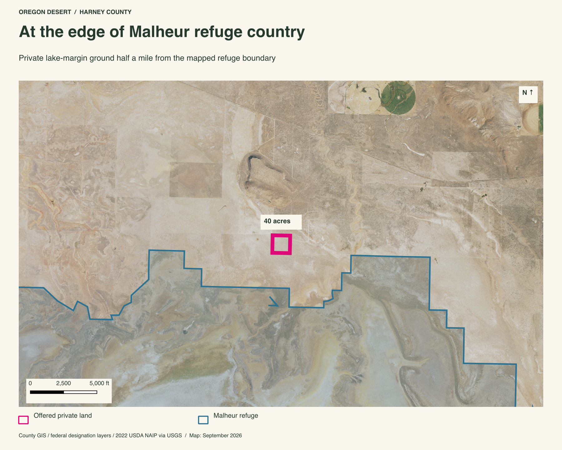
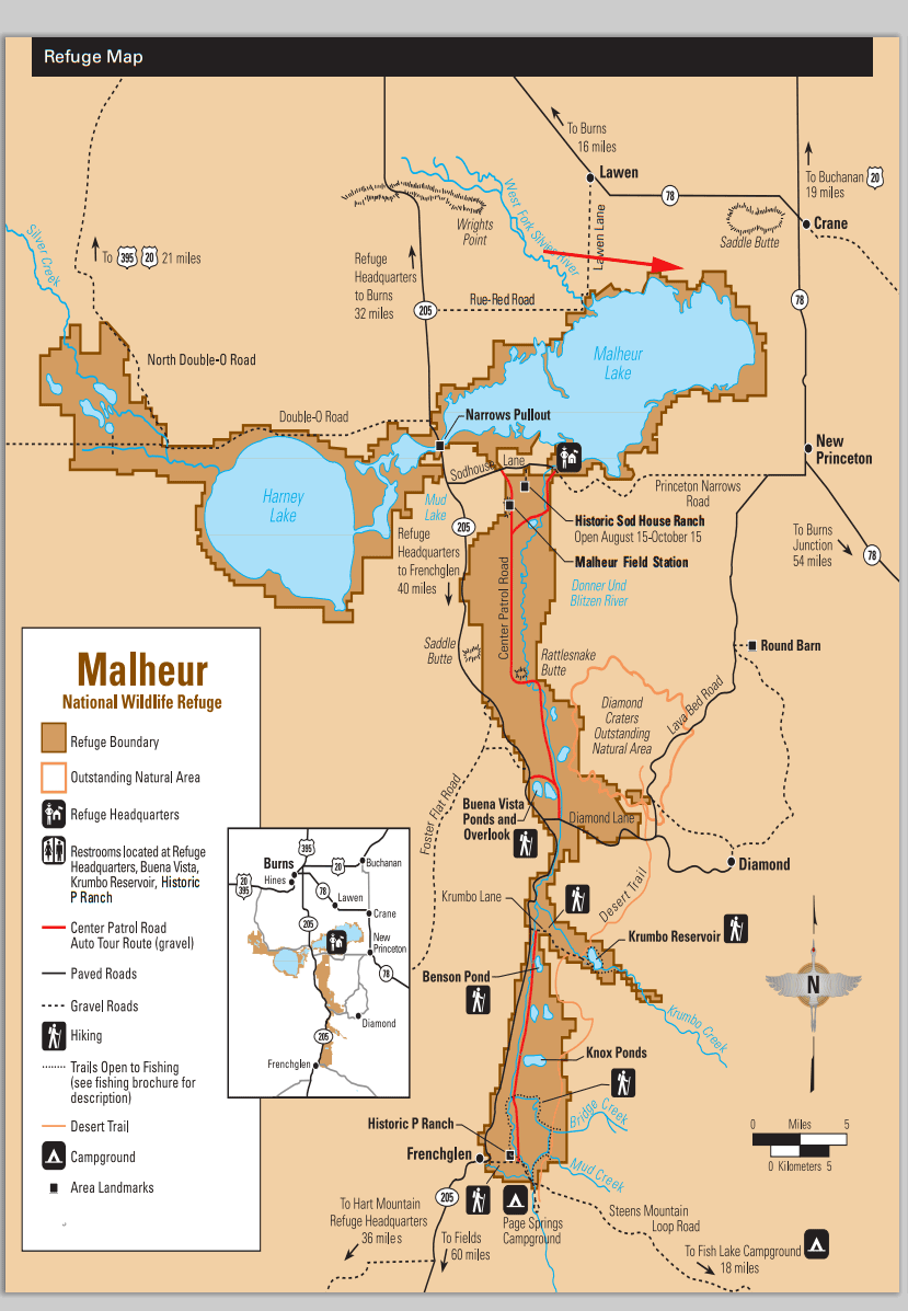
The property in relation to Malheur National Wildlife Refuge and the surrounding country.
The ecosystem map calls this setting "High Desert Wetlands." That describes the broader landscape in which the parcel sits. It fits the shifting boundary between dry ground and shallow water that gives this place its character.
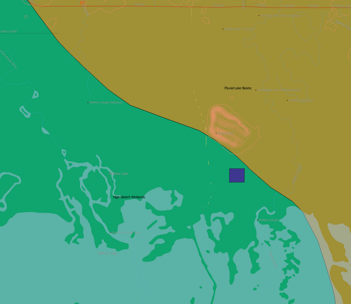
The ecosystem map places the parcel in "High Desert Wetlands."
A place to return to
This is land for someone interested in a place that will not look the same every season. The lake edge, exposed ground, and low hills make a different picture as the water rises and falls. This is private land in Malheur Lake country, near the national wildlife refuge.
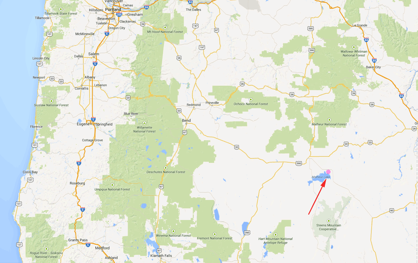
The regional map puts the lake south of Burns. For someone drawn to this basin, the appeal is the chance to follow one small piece of it through different seasons. Talk with Peter about arranging a visit.
What's the legal description?
25S 32 1/2E WM section 24 tax lot 6300
Is there power to the property?
No power at the property. Some houses on the nearby butte have electricity.
What should a buyer know about the approach?
Dirt roads in this lake-margin country can become muddy in wet conditions. Ask Peter about the approach when arranging a visit.
What's the elevation?
4,100 feet above sea level.
How big is 40 acres?
A square forty-acre parcel is roughly a quarter mile on each side. The map shows this parcel in relation to Saddle Butte and the lake margin.
Property taxes and county records
Harney County account 23623
- Acreage
- 40 acres
- County parcel reference
- 25S32V000006300
- Discounted annual tax
- $24.11
- Record last updated
- 2025
Buyer due diligence
Before you buy
These listings and maps do not grant permission to enter any property or cross neighboring land. Visits to land offered for sale must be arranged with Peter in advance and use an authorized route. A sold listing is not an invitation to visit its current owner's land.
Buyers must independently verify recorded legal access and easements, road conditions and maintenance, water availability and water rights, well feasibility, power and other utilities, septic suitability, boundaries, title restrictions, and mineral rights.
Confirm zoning, permits, and whether your intended use is allowed with the county and relevant agencies, including building a home, camping, RV use, or renting to guests. Check flood and wetland restrictions and the cost of any improvements. A visible road, nearby power line, or mapped water does not establish a right to use it. Listing descriptions and maps are for general information and do not guarantee access, services, boundaries, or permission to build. Consult the county, utility providers, a title company, and qualified professionals before committing to a purchase.