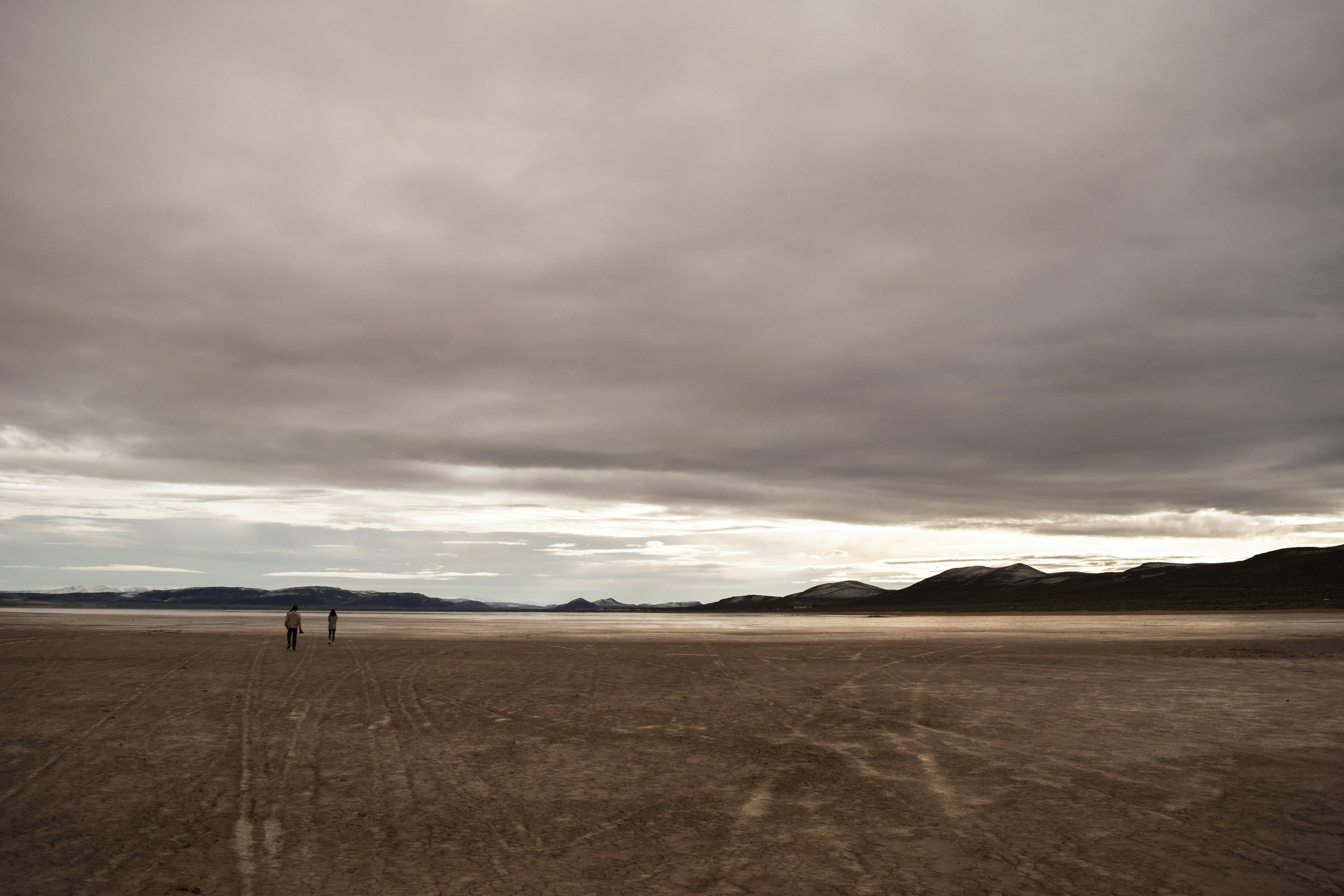
Steens Mountain fills the western skyline. Below its steep eastern face, the Alvord opens into miles of pale, nearly level playa. These 480 acres are a chance to own a piece of the desert floor beneath it.
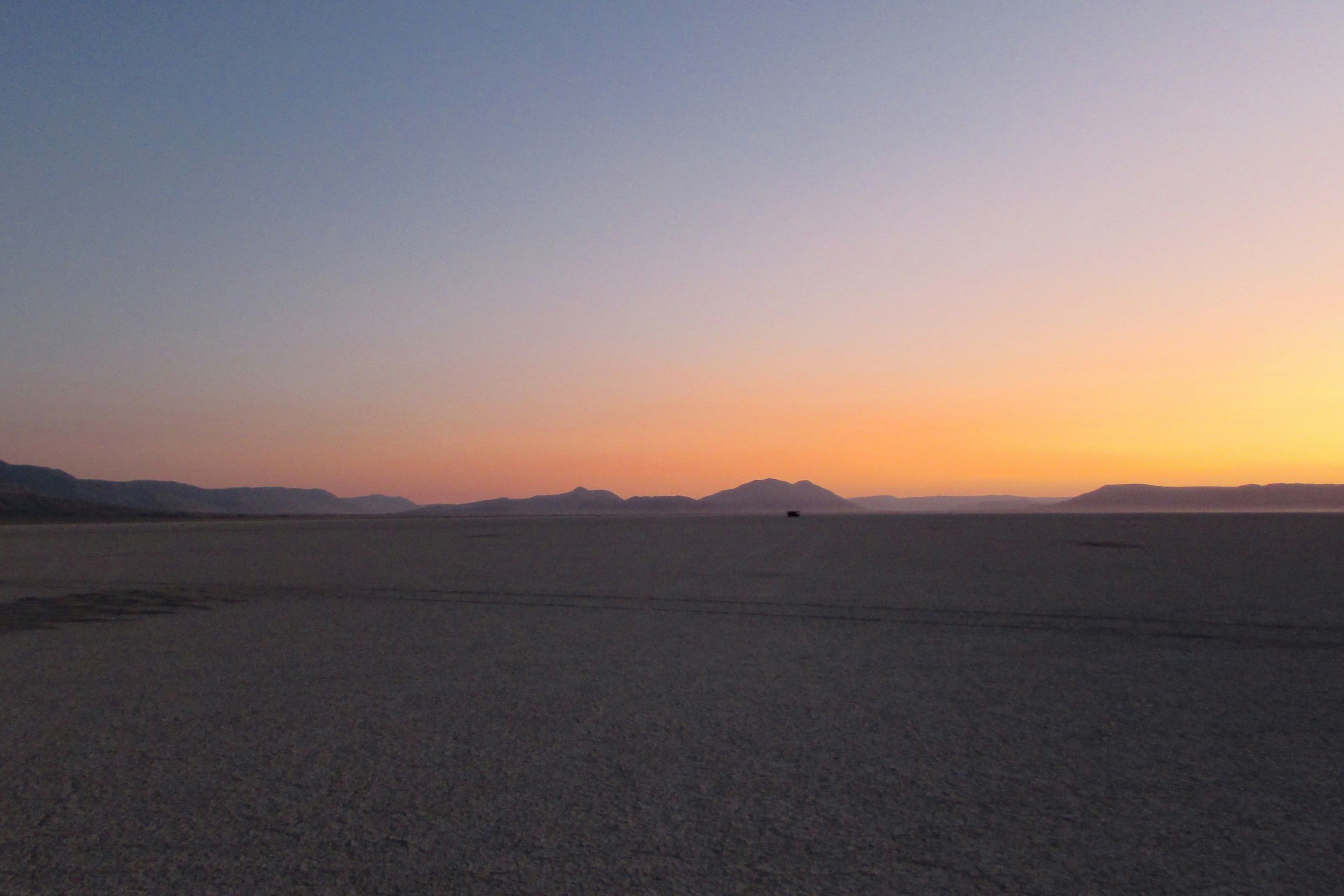
Dawn puts a band of color along that low horizon. This photograph catches the wider Alvord playa, the setting for the land offered here.
Steens Mountain above the playa
The eastern face of Steens Mountain rises about a mile above the Alvord. Earth movement lifted the eastern edge of this long block of volcanic rock, leaving the steep face above the basin. The connection continues underground. The lava flows buried beneath the desert floor are the same flows exposed at the top of Steens, as BLM's Alvord guide explains.
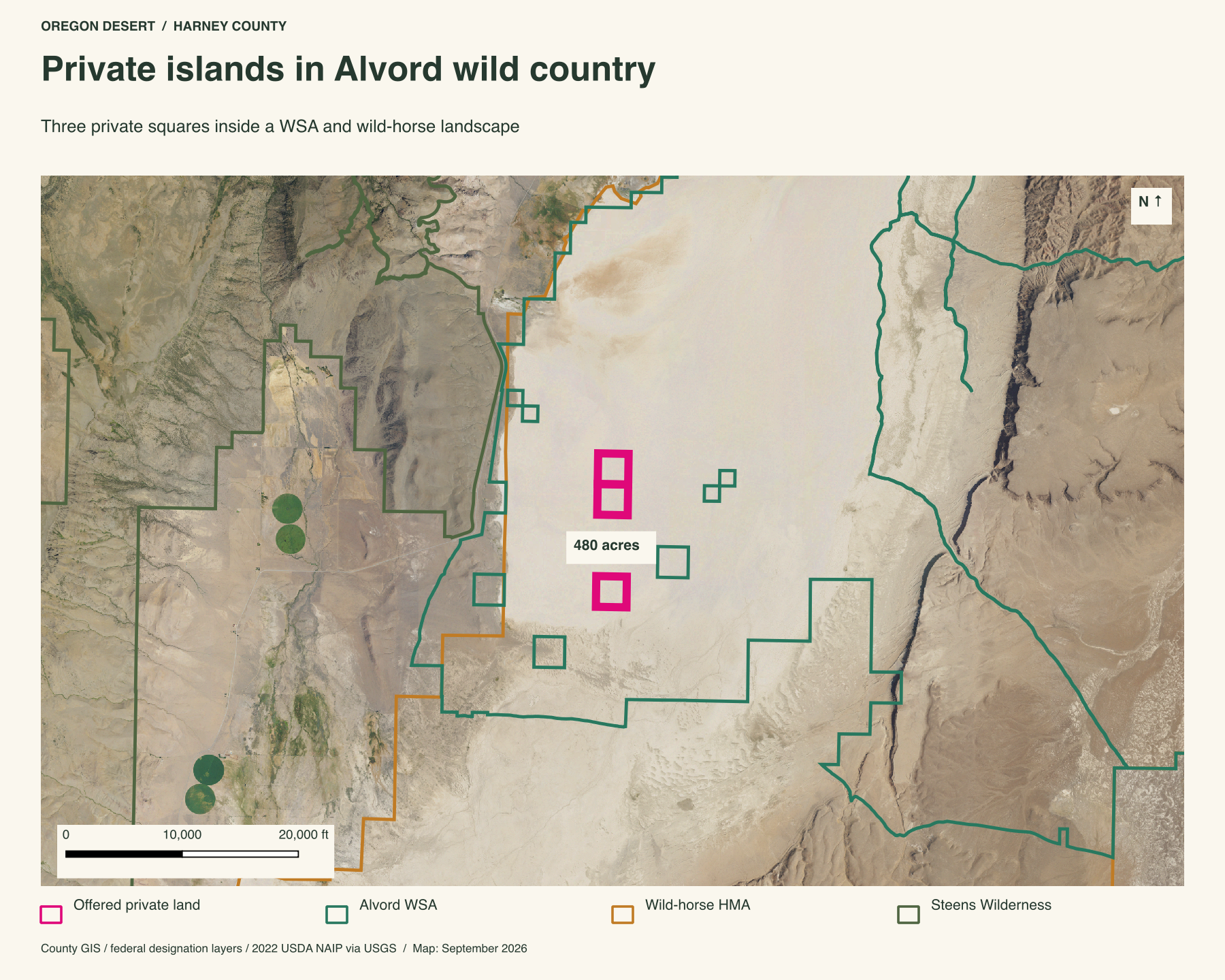
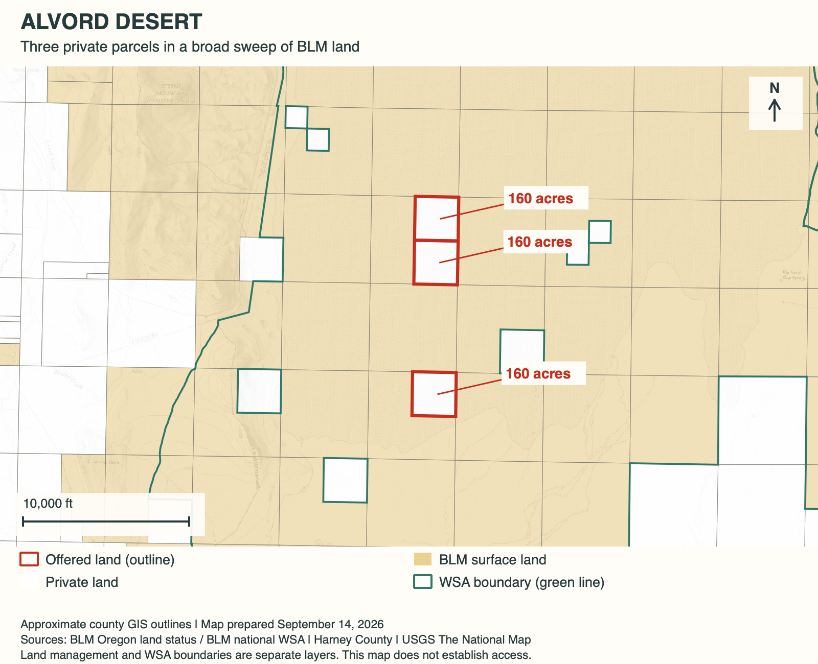
Three private islands in the Alvord wildlands
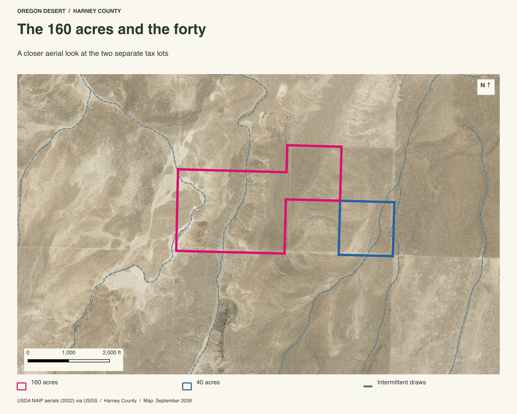
I'm selling 480 acres on this desert floor, in three 160-acre squares among BLM land. Two adjoin. The third lies a mile south of the northern pair. Each square is roughly half a mile across. The ownership pattern is extraordinary: the mapped boundary of the Alvord Desert Wilderness Study Area bends around the private parcels, leaving each one as an island inside the wider WSA landscape.
All three parcels also fall inside BLM's 553,603-acre Coyote Lake-Alvord-Tule Springs wild-horse range. The Steens Mountain Wilderness begins about 1.8 miles west. Private playa, a wilderness study area, the mountain wilderness, and a vast horse range all meet in one view.
The wagon road grant
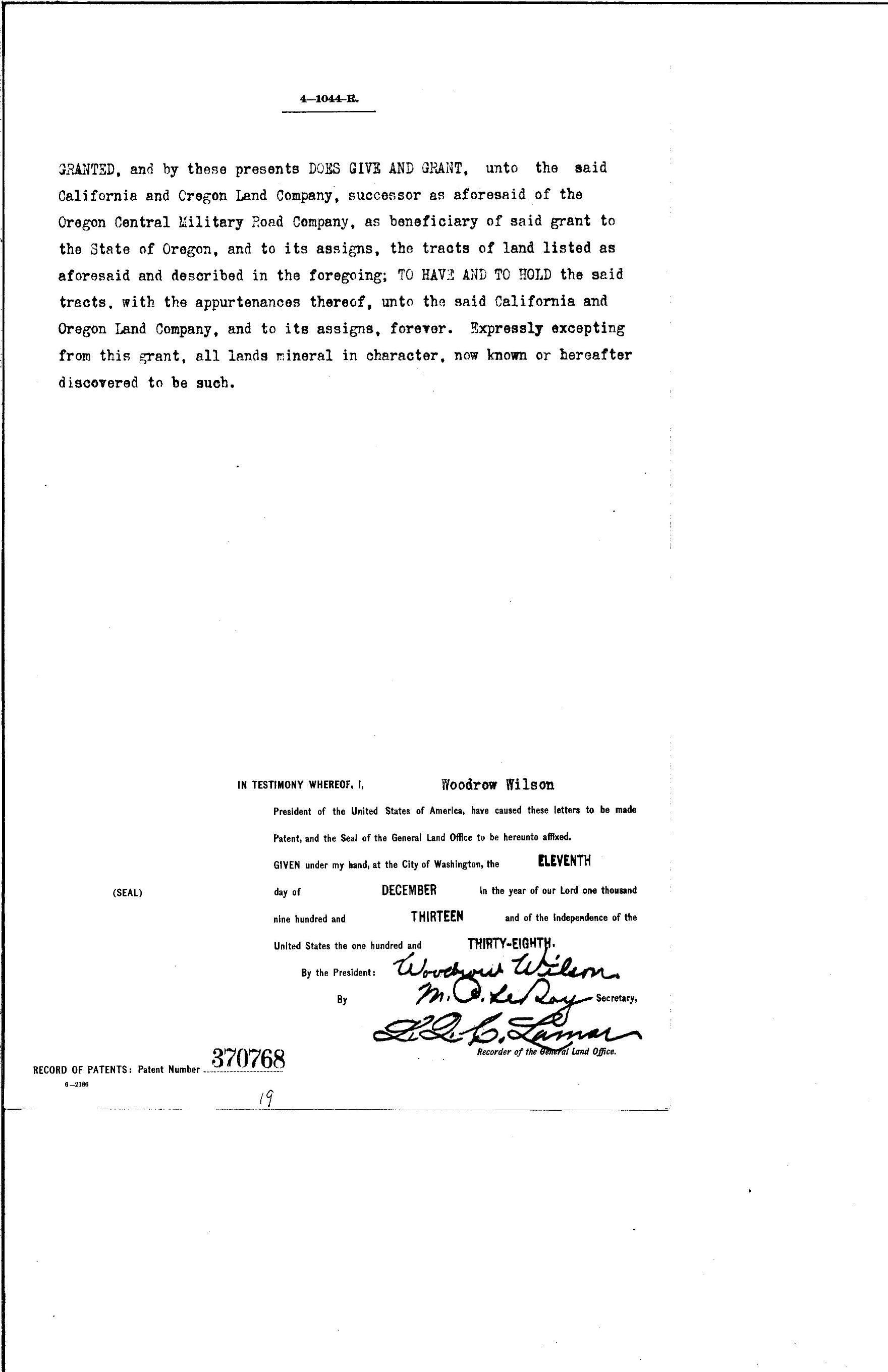
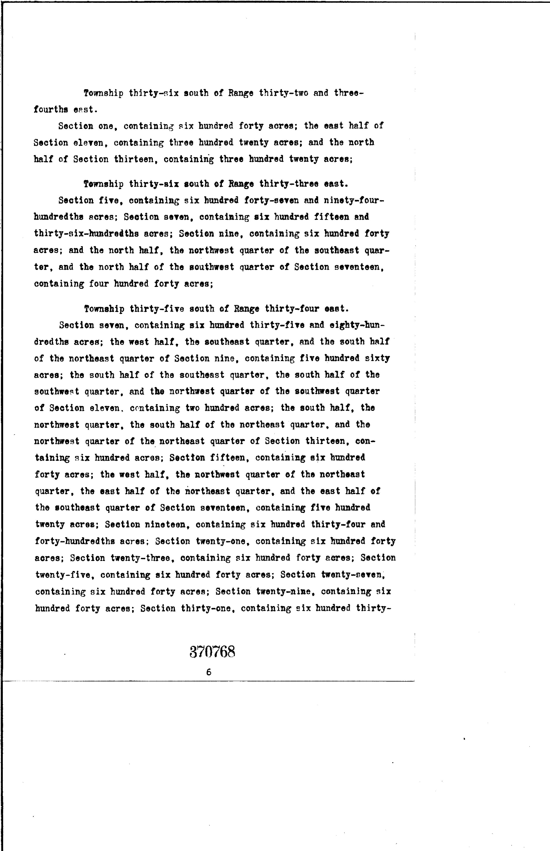
There's an old wagon road story behind these three private squares. In 1864, Congress offered alternating sections of land to help build the Oregon Central Military Wagon Road, a route planned east from Eugene.
Nearly fifty years later, a patent named the road company's successor, California and Oregon Land Company, and included sections 15 and 27. All three squares for sale sit in those sections. Woodrow Wilson's signature is on the document.
The floor of an old lake
This broad, bare surface was once underwater. BLM describes an ancient lake almost 200 feet deep that extended south into Nevada. Traces of its shoreline remain along the valley's edges. Today's playa is about six miles wide and eleven miles long, a small remnant of that older basin. BLM's Alvord Desert guide describes the lake history and the conditions that shape the playa today.
Steens still sends water into the basin. Seasonal runoff from its eastern slopes reaches the playa, and heavy mountain snowpack can leave the desert flooded. BLM records year-round flooding from 1982 through 1985 in its Alvord Desert Wilderness Study Area account.
That lake bed also explains the long, level reaches in this Oregon Field Guide film about landsailing. It gives a sense of the playa's scale and the wind moving across it.
Heat at the edge of the playa
Heat still reaches the surface elsewhere in the basin. Mickey Hot Springs has steam vents, mud pots, and pools too hot for soaking. Alvord Hot Springs is along the mountain front. They are part of the wider country around this quiet stretch of desert floor.
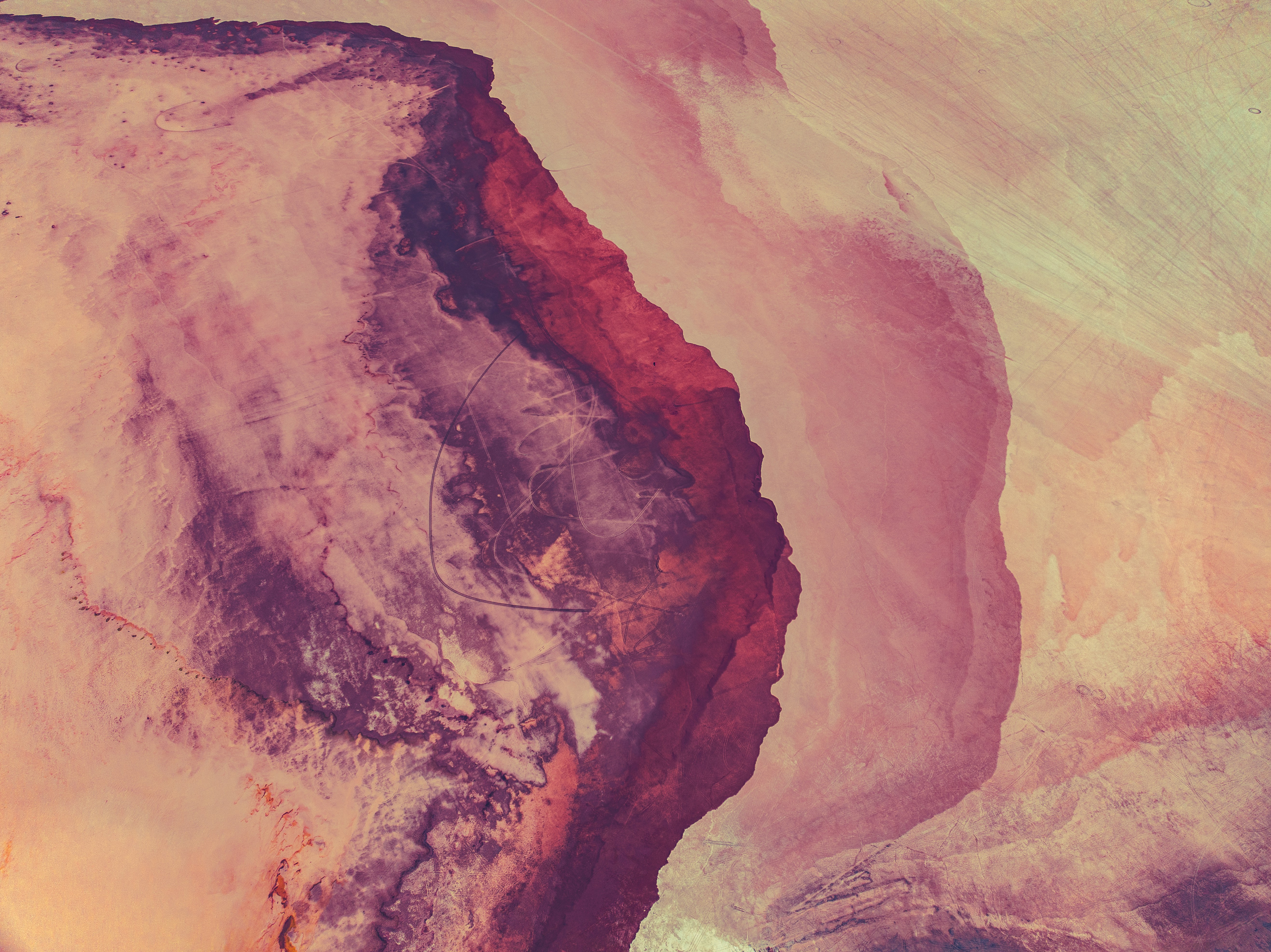
After dark
The mineral-stained ground is one small part of this basin. Beyond it, the open playa gives way to a wide night sky. In the photograph below, a lit tent sits beneath the Milky Way. It is easy to see why someone might keep coming back to the Alvord.
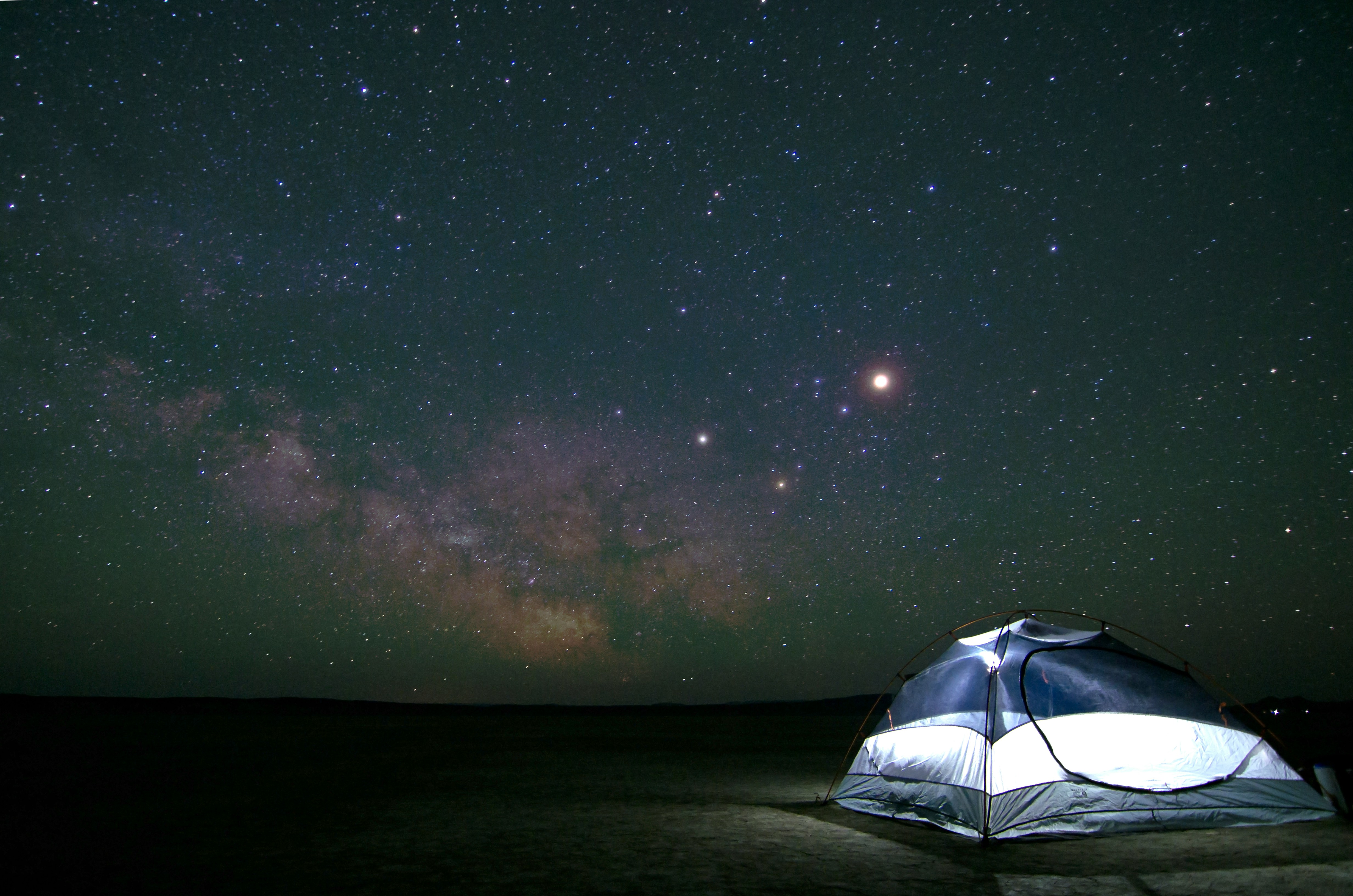
The short film "Beauty in Solitude" stays with that attraction to the place. It offers another look at the Alvord for a buyer weighing what it would mean to own a piece of this desert floor.
For a longer look at the surrounding country, the documentary below carries the view beyond a single photograph.
Wet playa clay can be impassable. Contact me to discuss the land and an arranged visit.
Property taxes and county records
$366.09 per year in discounted property taxes across all 3 parcels, using the records below.
Harney County account 29129
- Acreage
- 160 acres
- County parcel reference
- 35S34E000001100
- Discounted annual tax
- $122.03
- Record last updated
- 2025
Harney County account 29124
- Acreage
- 160 acres
- County parcel reference
- 35S34E000000600
- Discounted annual tax
- $122.03
- Record last updated
- 2025
Harney County account 29123
- Acreage
- 160 acres
- County parcel reference
- 35S34E000000500
- Discounted annual tax
- $122.03
- Record last updated
- 2025
Buyer due diligence
Before you buy
These listings and maps do not grant permission to enter any property or cross neighboring land. Visits to land offered for sale must be arranged with Peter in advance and use an authorized route. A sold listing is not an invitation to visit its current owner's land.
Buyers must independently verify recorded legal access and easements, road conditions and maintenance, water availability and water rights, well feasibility, power and other utilities, septic suitability, boundaries, title restrictions, and mineral rights.
Confirm zoning, permits, and whether your intended use is allowed with the county and relevant agencies, including building a home, camping, RV use, or renting to guests. Check flood and wetland restrictions and the cost of any improvements. A visible road, nearby power line, or mapped water does not establish a right to use it. Listing descriptions and maps are for general information and do not guarantee access, services, boundaries, or permission to build. Consult the county, utility providers, a title company, and qualified professionals before committing to a purchase.