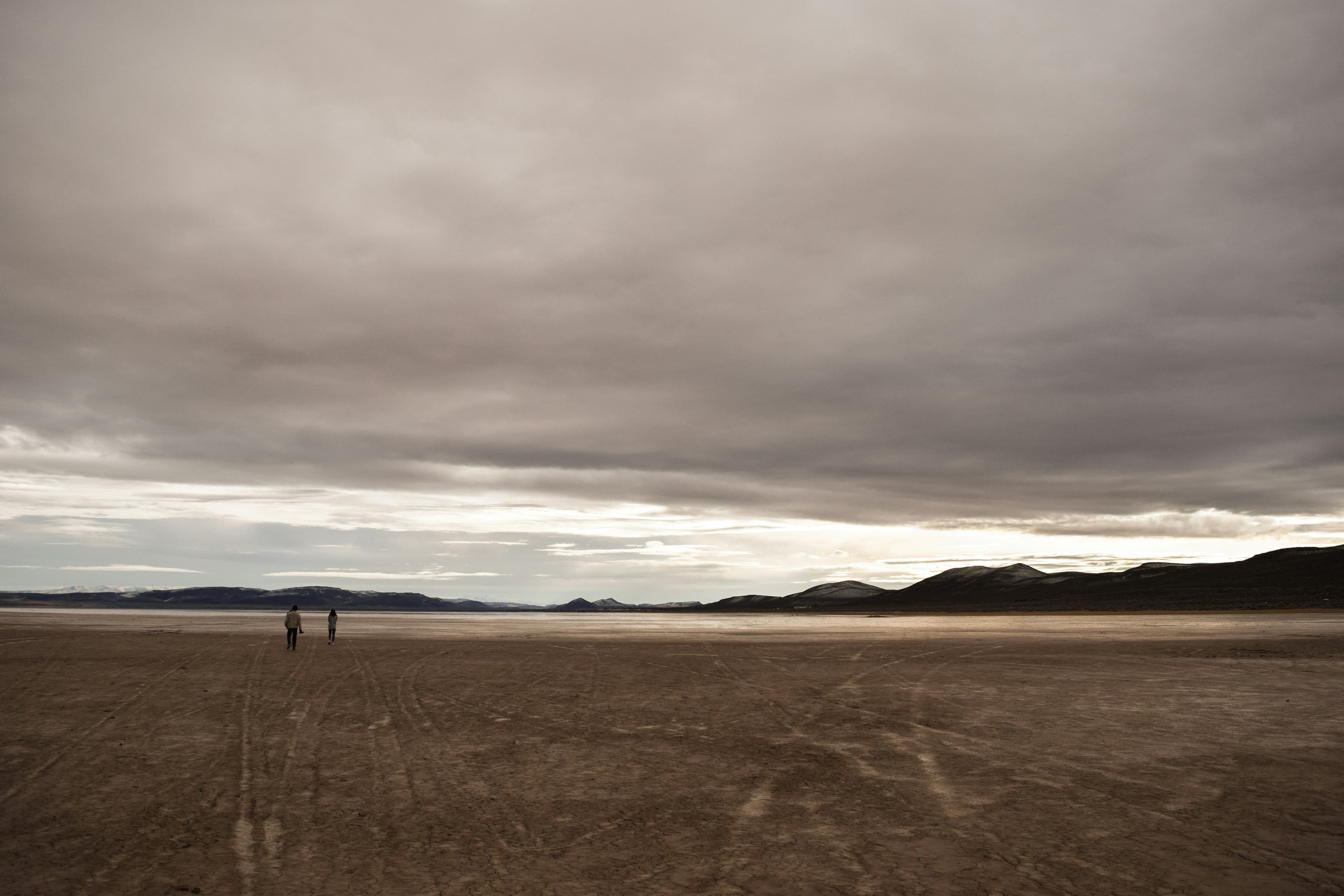
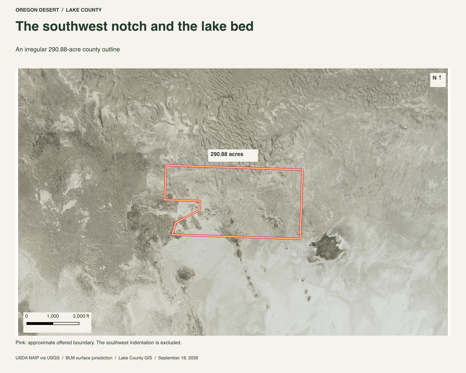
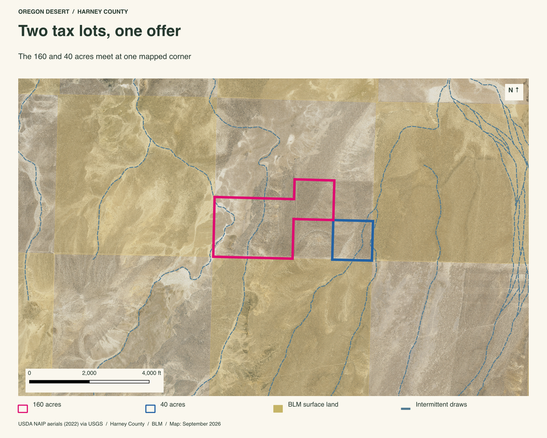
Two pieces of high desert northeast of Beatys Butte: 160 acres of low ridges and draws, and a separate forty-acre square. They are offered together for 200 acres. Their county outlines meet at one corner. Around them, BLM ground runs through a broad mix of public, private and state land. The land is about eight miles from the butte's summit in a straight line.
The land around these acres
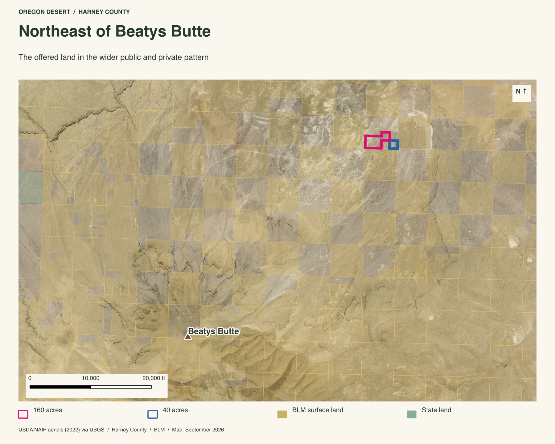
A 200-acre holding gives you room to learn the smaller turns of this country: the rise of a low ridge, the course of a dry draw, the change in cover after a storm. The regional map gives that private ground its scale. Beyond the two lots are miles of BLM hills and valleys, with other private and state parcels plainly marked. It is a place to return to, then keep exploring the wider Beaty Butte country.
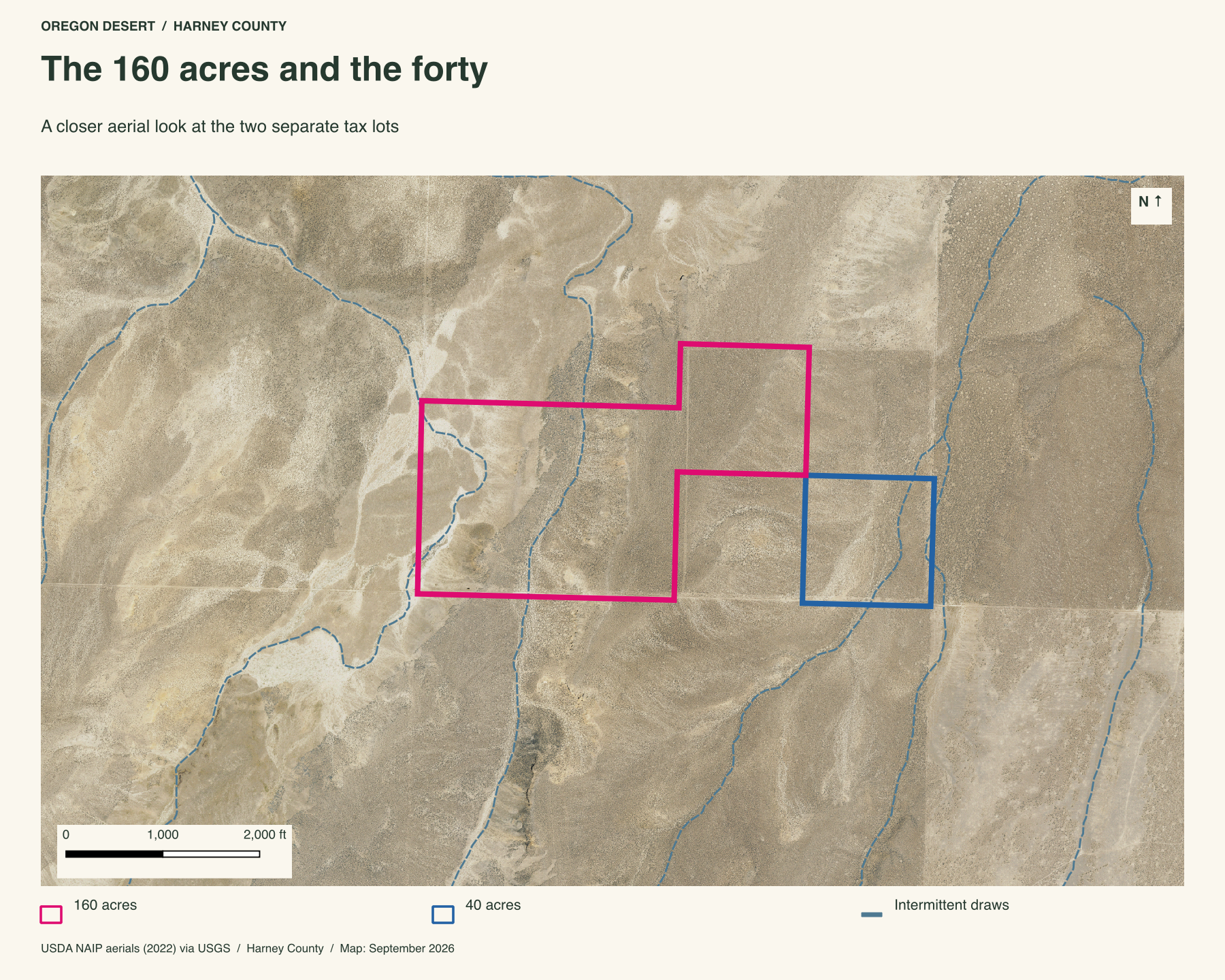
Two shapes in the sagebrush
The 160-acre lot has a stepped outline. Its full east-west reach is about 4,050 feet, with about 2,650 feet from its northernmost to southernmost point. The forty has four mapped edges of about 1,320 to 1,330 feet each.
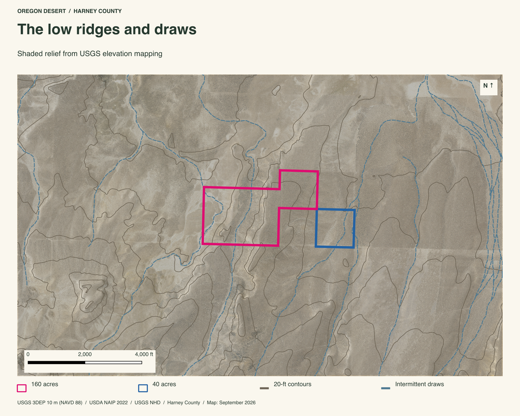
Low ridges and dry-country draws
The larger lot rises and falls by roughly eighty feet in USGS elevation data. The forty is gentler, with roughly fourteen feet of sampled relief. Small intermittent draws cross both outlines on the federal water map. The point of this land is the room: a long reach of open ground, small changes in the terrain, and the distance to the next place.
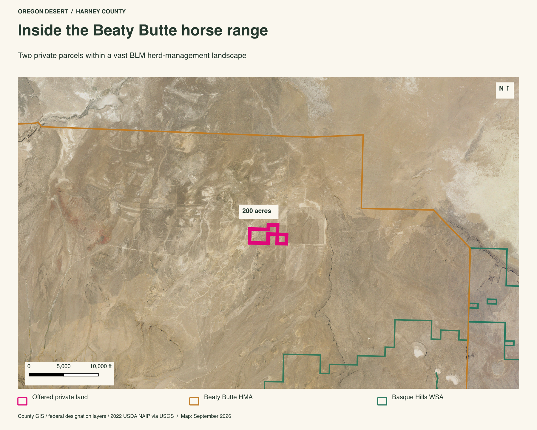
Two hundred private acres inside a wild-horse range
Both parcels fall inside the Beaty Butte wild-horse range mapped by BLM. The 437,120-acre range runs across federal, state and private ground, from dry lake beds and broad valleys into rugged buttes. These two lots hold 200 private acres inside that sweep of sagebrush and bunchgrass. Beatys Butte rises about eight miles southwest.
Basque Hills Wilderness Study Area begins about three miles southeast. That puts the land between a named butte, a wilderness-study boundary, and one of Oregon's great horse ranges.
Property taxes and county records
$134.00 per year in discounted property taxes across all 2 parcels, using the records below.
Harney County account 93051
- Acreage
- 160 acres
- County parcel reference
- 36S30E050000102
- Discounted annual tax
- $107.36
- Record last updated
- 2025
Harney County account 93080
- Acreage
- 40 acres
- County parcel reference
- 36S30E050000103
- Discounted annual tax
- $26.64
- Record last updated
- 2025
Buyer due diligence
Before you buy
These listings and maps do not grant permission to enter any property or cross neighboring land. Visits to land offered for sale must be arranged with Peter in advance and use an authorized route. A sold listing is not an invitation to visit its current owner's land.
Buyers must independently verify recorded legal access and easements, road conditions and maintenance, water availability and water rights, well feasibility, power and other utilities, septic suitability, boundaries, title restrictions, and mineral rights.
Confirm zoning, permits, and whether your intended use is allowed with the county and relevant agencies, including building a home, camping, RV use, or renting to guests. Check flood and wetland restrictions and the cost of any improvements. A visible road, nearby power line, or mapped water does not establish a right to use it. Listing descriptions and maps are for general information and do not guarantee access, services, boundaries, or permission to build. Consult the county, utility providers, a title company, and qualified professionals before committing to a purchase.