This property has sold. The photographs and notes remain here. See the land currently listed for sale.
Fifty-nine acres of sand beside Lost Forest Road, inside BLM's Christmas Valley dune country. A private inholding with dunes of its own, near one of the area's main camping and staging grounds.
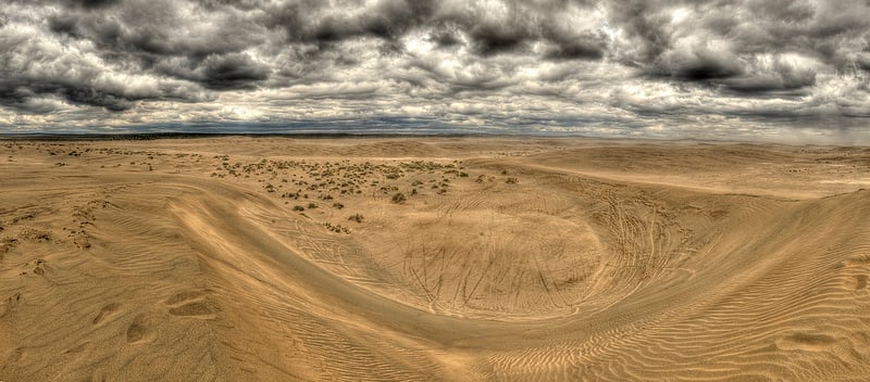
In summer the surrounding dunes draw ATV riders and other off-road travelers. Tracks cross the sand. This is a different side of the high desert, with people out riding and camp close by.
The Google map shows the approximate parcel outline along paved Lost Forest Road. An old landmark was the partly buried red shipping container just east of the property. It was already gone when the original description was written.
The property has sold. These photographs keep a record of the dunes and the road along the northern edge.

The private inholding within BLM's Christmas Valley Sand Dunes.

A closer ownership view, with ATV tracks on and near the parcel.
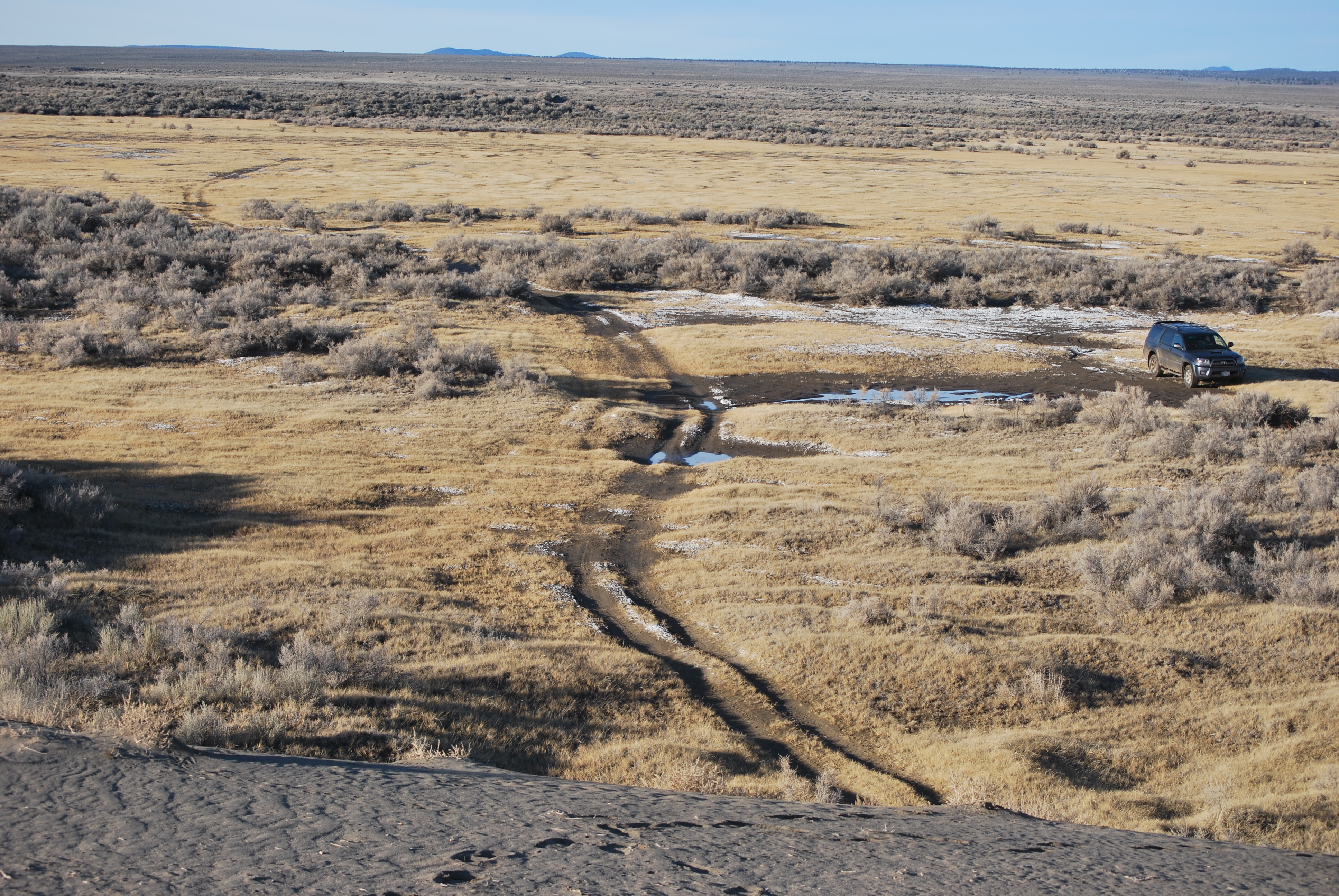
Looking north toward Lost Forest Road from a dune bordering the property.

Sand on the property.

A closer aerial view of the parcel.
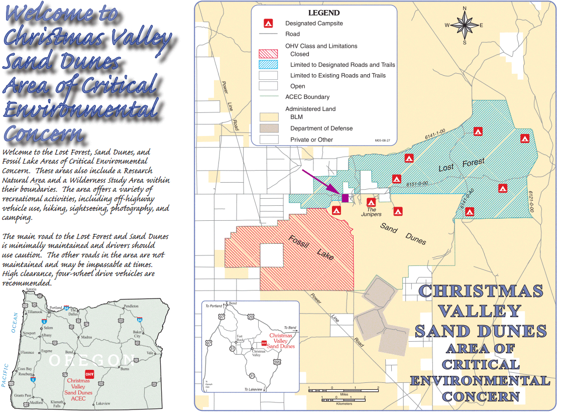
The BLM recreation brochure maps the dunes and camping areas. The former listing parcel is highlighted in purple, near two of those camping areas.


What's the legal description?
26S 19E WM section 1 tax lot 200.
Is there power to the property?
No.
What about roads to the property?
The north end of the parcel borders Lost Forest Road, which is paved.
Is it accessible all year?
The original listing described year-round road access.
What's the elevation?
4,300 feet above sea level.
How much land is here?
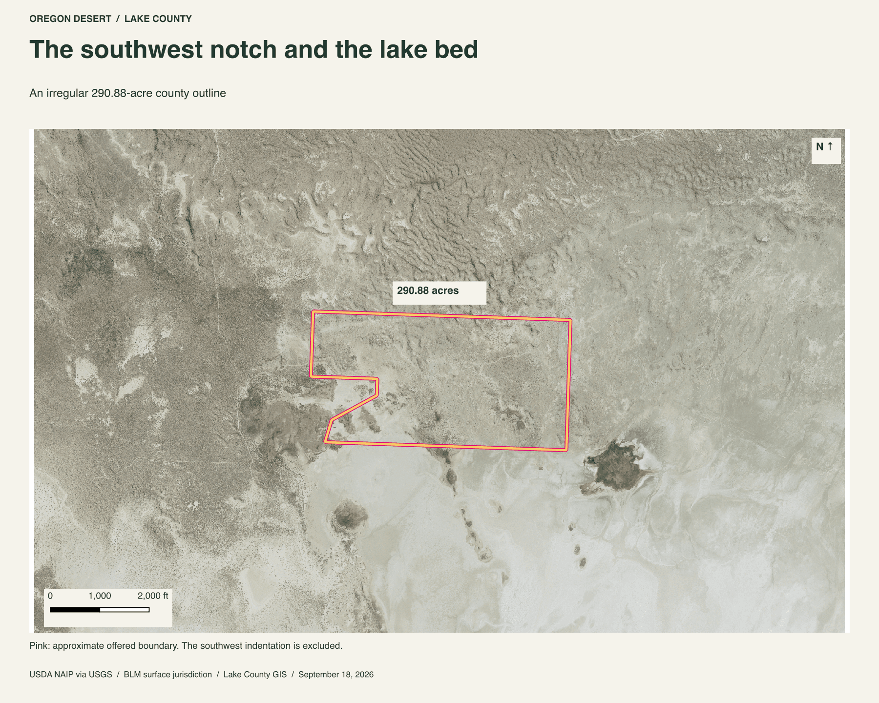
59 acres. See the parcel outline above for its shape.
Buyer due diligence
Before you buy
These listings and maps do not grant permission to enter any property or cross neighboring land. Visits to land offered for sale must be arranged with Peter in advance and use an authorized route. A sold listing is not an invitation to visit its current owner's land.
Buyers must independently verify recorded legal access and easements, road conditions and maintenance, water availability and water rights, well feasibility, power and other utilities, septic suitability, boundaries, title restrictions, and mineral rights.
Confirm zoning, permits, and whether your intended use is allowed with the county and relevant agencies, including building a home, camping, RV use, or renting to guests. Check flood and wetland restrictions and the cost of any improvements. A visible road, nearby power line, or mapped water does not establish a right to use it. Listing descriptions and maps are for general information and do not guarantee access, services, boundaries, or permission to build. Consult the county, utility providers, a title company, and qualified professionals before committing to a purchase.